Your farm, seen from space.
AI, satellite imagery and soil science combine into clear, daily decisions — what your crop needs, before stress is visible to the eye.
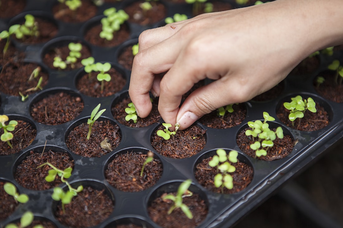
NDVI maps that catch trouble early.
Every few days, Sentinel-2 reads your canopy. Grow360 turns it into colour-coded pins so you can act before a problem spreads.
Data science doing a farmer’s homework.

Crop models
Per-crop AI models trained on Indian conditions, not borrowed from abroad.
Soil intelligence
Soil-test data fused with satellite signals for precise nutrition advice.
Crop Doctor
Computer-vision diagnosis from a single leaf photo, in seconds.
Weather fusion
Multiple weather sources blended down to your village.
Advisory engine
Turns all of it into one clear, daily to-do for your field.
Faster insurance
The same data settles weather-index claims fairly and fast.
From orbit to your to-do list.
Satellites read your field
Sentinel-2 imagery refreshes every few days, scoring your canopy with the NDVI health index.
AI turns it into advice
Models combine imagery, soil and weather into a clear daily action — not a confusing chart.
You act in time
Colour-coded pins flag stress early, so you irrigate, feed or treat before damage spreads.
A red pin showed up on the north corner before I could see anything wrong. It was water stress — I fixed the line and saved that patch.
लाल पिन ने पहले ही चेता दिया — पानी की कमी थी।
Satellites, accuracy and privacy — answered.
How often is my field updated?
What is NDVI?
How accurate is the crop diagnosis?
Who owns my field data?
Let a satellite do the watching.
Add your field and get satellite crop-health, weather and advisory — free to start.